
Tustin Neighbors by Block
A block lookup is a small geography problem. First identify the target parcel. Then decide whether the question concerns adjacent land, recorded ownership, a registered voter, a historic household, or a community contact. Each source has a different access rule and a different meaning. The coverage table makes the distinction explicit before a neighbor search moves beyond the map.
| Source | What it shows about a block | Access |
|---|---|---|
| Orange County TaxMap | Parcel outlines, adjacent lots, map context | Free viewer |
| Treasurer tax search | Situs-to-APN and tax navigation | Free address or APN search |
| Assessor assessment | Values and exemptions for an APN | APN only; names suppressed online |
| RecorderWorks | Recorded parties and instruments | Free index; name or document keys |
| Voter Street Index | Registered voters at addresses | Approved lawful purpose only |
| Neighborhood programs | Contacts, association names, meeting routes | No public member roster located |
| Historical sources | Past households and block context | Library, museum, Archives |
The official block layer is therefore parcel-first. A tax map can show that two lots touch. It cannot show every person who uses a building. A deed can name a recorded party. It cannot turn that party into a full household list.
Map Tustin Adjacent Parcels
Open the Orange County TaxMap with the target address, confirm the parcel outline, and pan across both sides of the street. Click each adjacent shape and record its APN. Then query each APN separately in the Treasurer or assessment system. The flow is address, parcel, adjacent APNs, individual record checks. It is more reliable than assuming the next street number is the next parcel.
- Search the exact situs address and save the APN and map date.
- Confirm the outline, street frontage, unit or lot detail, and jurisdiction.
- Inspect the parcels on both sides and behind the target lot where the map shows them.
- Run each adjacent APN through the appropriate county record path.
- Keep recorded parties, map facts, and any lawful voter result in separate notes.
Condominiums can place several assessment units at one street address. Common areas, parks, private streets, and newly created lots can disrupt a clean block pattern. The GIS layer is annual, and a new split can lag. If the map and address do not agree, use the parcel legal description and county desk rather than guessing.
Tustin Parcel Layers Have Gaps
Orange County's parcel tools are useful because they expose the map key, but they are not a resident directory. The Assessor asks for an eight-digit APN and suppresses owner names and mailing addresses online. The Treasurer's address autocomplete can return the APN and tax trail. TaxMap shows geometry. RecorderWorks uses names and instruments rather than a street field. Each gap is a design feature of the source, not a reason to fill the blank with a guess.
A block search should also account for jurisdiction. North Tustin is unincorporated and commonly uses Santa Ana postal context. Tustin Legacy and Tustin Ranch have planning and parcel layers that changed as development proceeded. ZIP labels cross boundaries. Save city, county, ZIP, APN, and street name as separate fields in the neighbor note.
- Adjacent parcel
- A mapped lot that touches or sits immediately around the target parcel.
- APN
- The county assessment key used to query a parcel separately.
- Recorded party
- A person or entity named in an instrument, not every person at the address.
- Annual layer
- A map or assessment snapshot that can lag new parcel changes.
Tustin Street Index Access
Orange County offers an address-organized voter Street Index, but the research identifies it as a restricted product. An application is mailed or delivered in person and asks for applicant details, license and expiration, residence and mailing information, purpose checkboxes, beneficiary, security narrative, perjury statement, product choice, payment, and handling method. The file can contain names, residence and mailing addresses, party, registration date, mail-ballot status, precinct, and history, but never ballot choices.
Authorized purposes include election, candidate, political, scholarly, journalistic, and approved other use. Commercial or marketing use, harassment, republication, transfer, and insecure publication are prohibited under the cited California rules. A personal voter lookup authenticates the person who supplies the fields. It does not create a public list of Tustin neighbors.
Orange County's voter-data page explains the restricted products and lawful-purpose path.
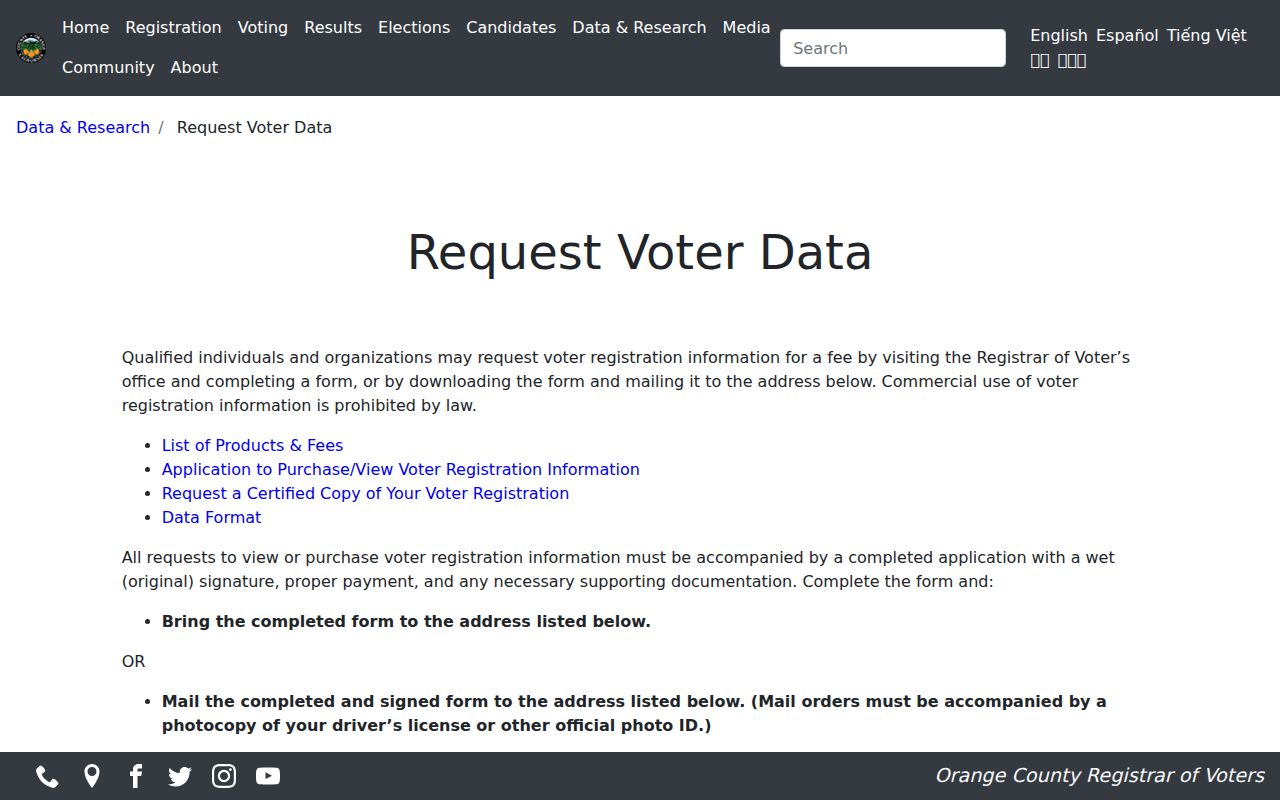
The application screen is a reminder that an address-ordered voter result is not open browsing.
Tustin Neighborhood Watch Contacts
Neighborhood Watch is a community contact route, not a public member directory. Tustin publishes separate north and south of I-5 contacts, with the researched numbers 714-573-3391 and 714-573-3396. Those contacts can explain how a block program works or where a meeting is held. They do not release a list of households, and they should not be used to request private member information.
Community programs are useful when the goal is to meet people on the block, report a safety concern, or understand a local block structure. They do not replace the parcel map, a county record, or a lawful personal record request. Keep the civic contact separate from any conclusion about who lives at an address.
The City of Tustin Neighborhood Watch page lists the north and south program contacts.
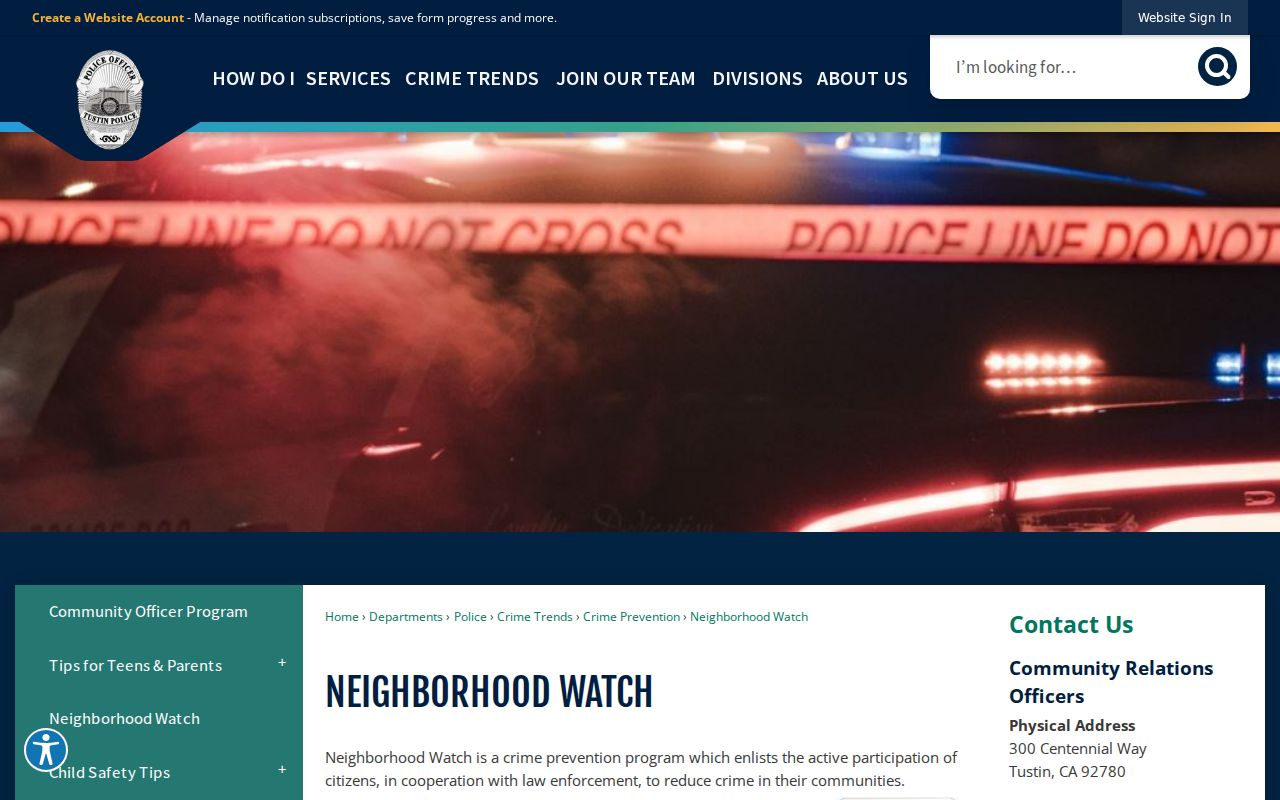
The published contact route supports community participation without exposing a private roster.
Tustin Association Names
The city's association inventory provides community names that can help identify a block's civic context. It is not permission to republish personal contacts and it is not proof that an association maintains a public member directory. Use the name to locate a lawful management or meeting channel, then ask only for information the organization is authorized to share.
| Association or community name | How it helps a neighbor search |
|---|---|
| Alicante, Almeria, Arborwalk, Arcada | Names a planned or shared community context. |
| Columbus Grove and Columbus Square | Helps distinguish a development from a street label. |
| Corte Villa and Enderle Gardens | Provides a local association or tract search term. |
| Greenwood, Laurelwood, Prospect Village | Offers community names for city-file or planning searches. |
| Monterey at Tustin Ranch | Connects the block question to the Tustin Ranch context. |
Association names can also clarify why multiple APNs share one address or why a street is described by a tract rather than a neighborhood. They do not establish an occupant, owner, or present member.
The inventory is especially useful in planned communities where a development name carries more local meaning than a postal label. It can guide a city-file, planning, or meeting search, but it does not reveal a private roster. A neighbor who wants to meet others on the block should use the association's approved contact route or Neighborhood Watch rather than trying to infer membership from parcel records.
Historic Tustin Block Clues
Historical blocks can be reconstructed from the Tustin News run, criss-cross directories, Sanborn map context, city WebLink files, and the Historic Resources StoryMap. The January 1895 Sanborn sheet can show an old footprint or use. The directory runs can show a listed name at a dated address. WebLink can reveal an annexation, resolution, tract, or street-name change. Each source answers a different part of the block story.
Search both old and modern names. In 1968, D Street became El Camino Real, 4th became Irvine Boulevard, and H became Centennial Way. Cerromar became Corte Villa in 1996. Use the APN, tract, map, and legal description to keep a historic block tied to the correct present parcel. A mapped survey omission may reflect survey scope, especially in Tustin Ranch or Tustin Legacy, rather than a lack of history.
Old Town's 1880s development, the 1870-1913 settlement era, postwar tract growth, and base reuse at Tustin Legacy can place a block in the right record era. Those eras do not identify a neighbor by themselves. They tell the researcher which map, directory, permit, or planning file is likely to carry the next clue.
Official and Commercial Neighbor Tools
Official sources are narrow but traceable. Commercial people-finder tools may combine public and private data, stale addresses, and similar names. The useful comparison is not which list looks longer. It is whether the source identifies its custodian, date, field, access rule, and correction path. For a Tustin neighbors question, parcel and civic sources should lead.
| Source type | Strength | Limit |
|---|---|---|
| County parcel tools | Map and APN navigation | No full household roster |
| Recorded documents | Named instrument parties | No proof of every occupant |
| Restricted voter file | Address-organized registration data for approved use | Purpose and handling limits |
| Community contacts | Lawful path to meetings or safety programs | No public member directory located |
| Commercial compilation | May suggest a lead | Stale, conflated, and not the custodian record |
Verify any meaningful neighbor lead at the office or organization that created the record. A longer compilation is not stronger evidence than a dated county result.
Tustin Neighbor Privacy Limits
Public block records do not expose every household member. People who are not recorded owners, protected voters, children, lodgers, or utility and delivery customers may not appear in any lawful public source. California Safe at Home can substitute an address for qualifying participants. California's DROP program can send deletion requests to registered data brokers, but it does not erase the source records held by a government custodian.
Lawful use. Use Tustin neighbor records for personal safety awareness, reconnecting, family history, property curiosity, and civic participation. Do not use a block lookup to stalk, harass, intimidate, or harm another person.
California DROP explains the broker-deletion route.
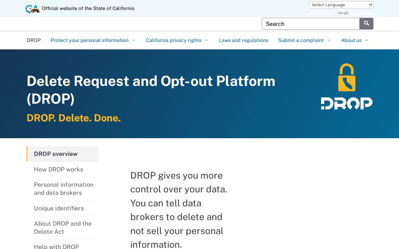
The deletion program can reduce commercial exposure, while source-record access still follows the custodian's law and confidentiality rules.
A no-match is not proof that a person is absent from a block. It may mean that the source is parcel-based, personal, restricted, historical, or outside the relevant jurisdiction.