
Tustin Sources for Past Residents
Previous residents appear in different source types. A deed chain follows recorded title parties. A directory or census schedule follows an occupant or household at a date. A permit follows a public project and may name an applicant. A newspaper or obituary supplies a social or family clue. A map explains footprint and use. The era table keeps those questions apart before the search begins.
| Source | Years covered | Where held | What it shows |
|---|---|---|---|
| RecorderWorks index | 1982-present | Orange County Clerk-Recorder | Recorded parties, types, dates, instruments |
| Older books, fiche, Archives | Pre-1982 bridge; Archives mostly pre-1960 | Clerk-Recorder and Orange County Archives | Historic instruments and property clues |
| Orange County directories | 1916; 1926, 1929, 1931; scattered 1923-1974 runs | Library, NARA, Archives, citations | Listed names and addresses |
| Tustin News | 1922-2000 | California Digital Newspaper Collection and museum terminal | Notices, obituaries, businesses, community life |
| Sanborn and historic survey | 1895; resources through 1976 | Library of Congress and City of Tustin | Footprint, use, mapped property history |
| Tax and parcel trail | About 16 tax-bill years; current annual GIS | Orange County Treasurer, Assessor, TaxMap | APN, tax history, parcel adjacency |
The table is not a promise that each source covers every Tustin address. It is a checklist for the era you need. A parcel developed after a directory run may have no entry. A 1974 criss-cross may not state its exact Tustin reach. A mapped survey may exclude Tustin Ranch and Tustin Legacy. Record those limits with the result.
Begin With a Tustin APN
Start with the current situs address in the Orange County Treasurer property-tax search. Save the APN, tax bill details, and the date searched. TaxMap can then show the parcel shape and nearby lots. The Assessor accepts the eight-digit APN and returns the current annual assessment context, but its online result suppresses owner names and mailing addresses. That is still enough to anchor a legal description and keep the backward trail on the right land.
Write the address in its current form and note unit, lot, tract, and any street-name clue. If the address is in a condominium, several APNs may share one building. If the address is near North Tustin, Irvine, or an old annexation, verify the jurisdiction as well as the ZIP label. A past-resident search fails quickly when the modern parcel is confused with a neighboring lot.
- Find the situs in the Treasurer search and save the APN and map link.
- Check the annual assessment view and note that owner names are suppressed online.
- Open TaxMap to confirm the parcel shape, adjoining lots, and any unit or common-area complication.
- Use the parcel and date as the bridge for every historical source.
Cross Tustin's 1982 Index Boundary
RecorderWorks reaches back to 1982 for the public web index. Search a current or recent recorded party, document type, recording date, map, or document number. A result can show the instrument number, indexed names and roles, document type, date, and book, page, or map identifiers when present. The public website is an index, not an open deed-image viewer.
Free image viewing is available at Clerk-Recorder terminals. Copies can be requested with the recording identifier; the researched schedule lists $1 per page plus $1 for certification or the document. A mail request goes to Orange County Clerk-Recorder, 601 N Ross Street, Santa Ana 92701, with a self-addressed stamped envelope. If the chain crosses before 1982, move to book, page, index-book, fiche, counter, and Archives routes rather than treating the web cutoff as the property's beginning.
Orange County's official-copy instructions explain the identifier, counter, and mail paths for the deed trail.
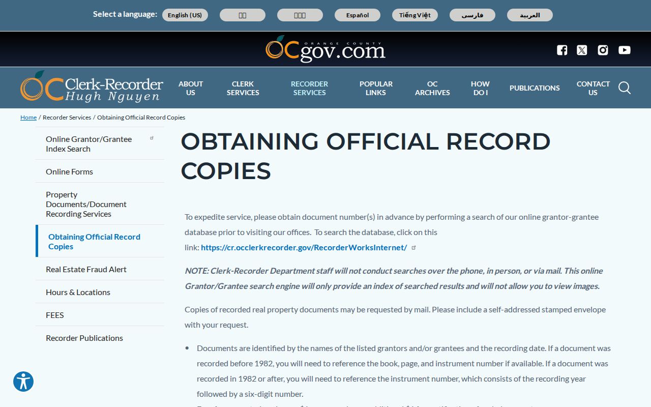
The copy route becomes useful only after the index has supplied a document number or other precise identifier.
Trace Tustin Owners Backward
The backward deed chain starts with a grantee, the person or entity receiving the recorded interest. Find the matching instrument and read the grantor, the person or entity transferring it. Search that earlier grantor as a prior grantee, then repeat. Match the APN, tract, legal description, recording dates, and instrument types at every step. A surname alone can link the wrong parcel or a different person.
Not every link is an ordinary sale. Quitclaims, trustee deeds, reconveyances, death or trust certificates, probate letters, easements, life estates, and liens may explain a change in the record without showing a normal purchase. Note the document type and party role. The Recorder staff will not assemble a chain for a researcher, so a clear worksheet is essential: current instrument, previous grantee, earlier grantor, date, legal description, and next search.
Chain rule. Use the legal description or APN to confirm that a grantor-to-grantee step belongs to the same land before adding a past owner to the history.
Tustin Archives Before 1960
Orange County Archives at 211 W Santa Ana Boulevard, Room 108, is the principal historic fallback identified in the research. Its county holdings include property, vital, government, directory, newspaper, and image material, with most county records there predating 1960. A pre-1982 deed trail may therefore need the Archives, legacy Clerk-Recorder indexes, and a library request together.
The Archives also changes how an address is read. A historic road name, tract file, map, or newspaper can connect an earlier description to the modern parcel. The Tustin Library and museum can add directories, yearbooks, and local-history material. None of those collections is a substitute for a certified recorded instrument, but each can locate the people or public events around the land.
The Orange County Archives page identifies the historical repository and its property-history role.
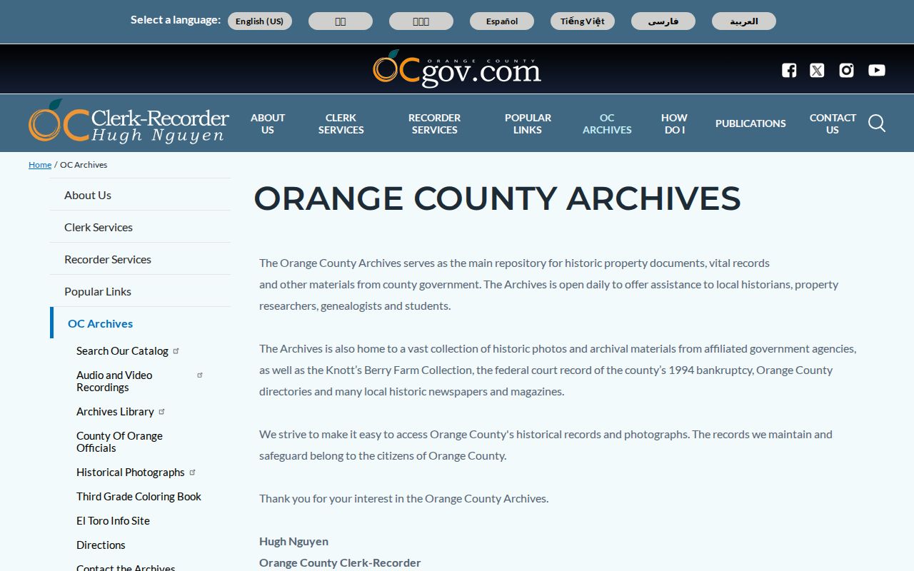
The Archives is the bridge when a modern web index cannot reach the era needed for a Tustin house history.
Tustin Sanborn House Context
The Library of Congress holds a digitized January 1895 Sanborn sheet for Tustin. A Sanborn map records building footprints, uses, construction details, and nearby street context. It does not list household names. Its value is spatial: it can show whether a structure or use existed near the address before later directories, deeds, and city files.
Pair the 1895 sheet with the legal description, the closest directory year, a newspaper or obituary, and a later parcel or historic-resource dossier. Do not assume that a modern number overlays the old map without checking street names and lot shape. The map's one-sheet scope is a clue about place, not a complete resident record.
The Library of Congress Tustin Sanborn map provides the 1895 building-context source.
Past Tustin Households in Print
Previous residents are not always the recorded owners. Orange County city directories and criss-cross runs can show a listed occupant at an address. The documented years include 1916, 1926, 1929, 1931, scattered 1923-1941 and postwar runs, Luskey editions from 1951 and 1954 through 1961, and a 1974 East Orange County criss-cross whose Tustin extent is not stated. The full collection details are kept on the Tustin city directory page.
Pair a directory address with the 1930 or 1940 census, then use the Tustin News run from 1922 through 2000 for obituaries, notices, school material, and local events. Search OCR variants, old street names, initials, and compound surnames. A missing entry is not proof of an empty house, and a newspaper mention is not proof of a current address.
The process is simple in form but strict in evidence: printed name and address, date, independent source, then a note about what remains uncertain.
Tustin StoryMap House Dossiers
Tustin's Historic Resources Survey and StoryMap add a mapped property-history layer. The research says the November 2024 initiative digitized and mapped results from the 2021 survey, with detailed property information and images. The survey can connect a selected resource to a public historical dossier, development era, or mapped address. It is not a complete catalog of every parcel or every previous resident.
Use the StoryMap after confirming the modern parcel. Compare the dossier with the deed chain, directory year, and Sanborn footprint. The research specifically warns that Tustin Ranch and Tustin Legacy specific-plan areas were outside the survey scope. An absent marker may therefore mean the area was excluded, not that the property had no history.
The City of Tustin historic-resources survey is the mapped property-history source.
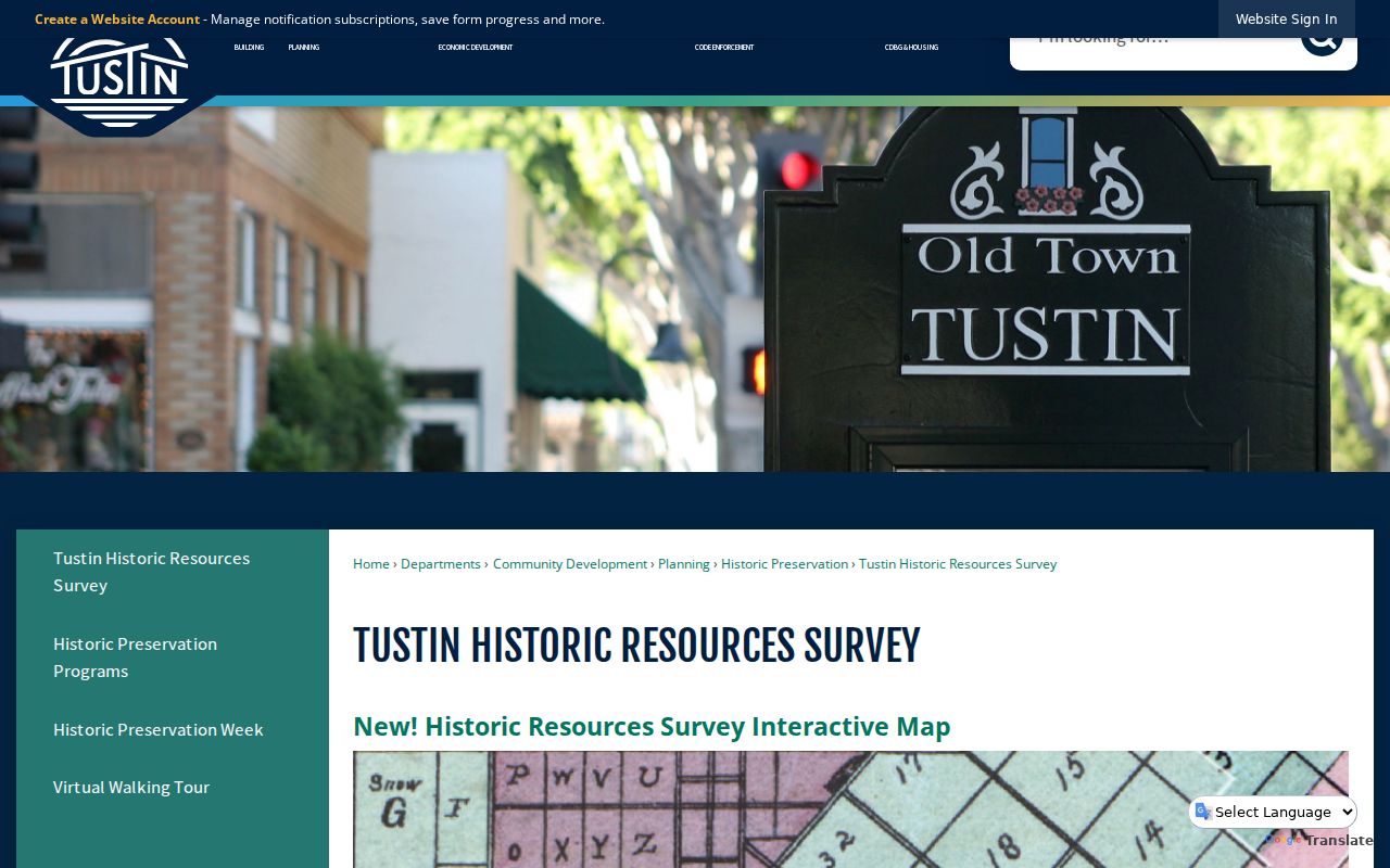
The mapped dossier is strongest when its address and scope match the parcel already established through TaxMap.
Unclaimed Property as a Tustin Lead
The California Controller's unclaimed-property search can preserve an old name, city, ZIP, or Property ID lead. It requires a last or business name or Property ID, with optional first name, city, and ZIP refiners. Exact matches appear first, followed by similar names. A result can support a historical-address trail, but it is not proof that the person lives at that address now.
Use the free state search, save the property identifier, and compare it with a directory, obituary, probate record, or deed. The state source is also the safe place to start when a letter demands a fee for a supposedly urgent claim. A past resident search should preserve the difference between a historic clue and a current identity.
California's unclaimed-property search shows the name, city, and ZIP lead fields.
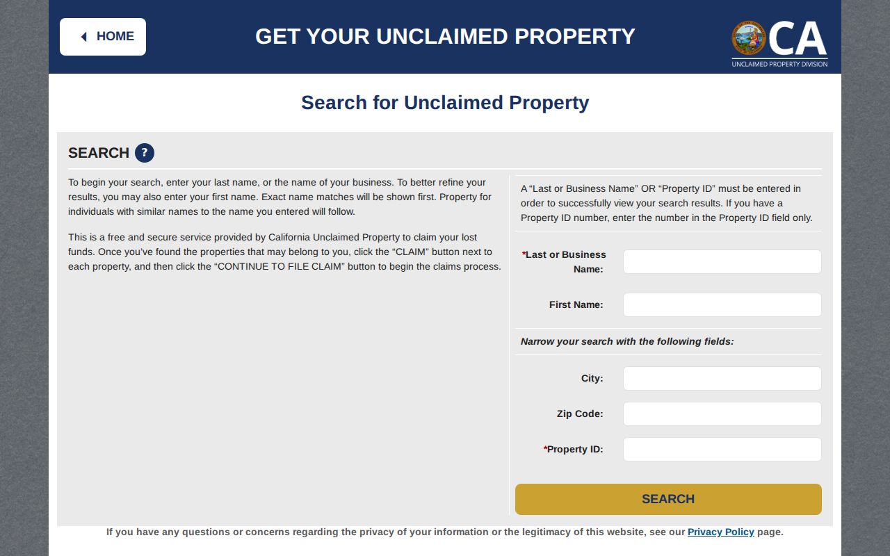
The state search is free, but its address clue still needs an independent record before it enters a house history.
Tustin Street Names Shifted
The 1968 centennial renaming is a major break in a Tustin previous residents search. D Street became El Camino Real, 4th became Irvine Boulevard, and H became Centennial Way. Cerromar became Corte Villa in 1996. Tustin Legacy plans carried interim road names as development changed. A directory, newspaper, city file, and deed may therefore use different words for the same land.
Search both forms, then bridge them with the APN, legal description, tract, map, and date. When the parcel is stable, the names become a manageable translation problem. When the parcel is not stable, a failed name search can send the history to the wrong street.
Previous Residents and Privacy
A house history is a lawful personal research project, but it does not grant access to protected information about living people. Renters, children, lodgers, protected voters, DMV data, utility accounts, and delivery records are not an open list. Safe at Home can shield qualifying residents through a substitute address, and sealed or confidential court and vital records may not appear in the public trail.
Lawful use. Use past-resident records for family history, property history, estate research, and personal curiosity. Do not use an address trail to stalk, harass, intimidate, or harm anyone.
Record the source, date, and limit for every name. A previous resident is a person listed in a dated record, not a conclusion about who lives there now. If the question turns from a house to one current person, use the custodian and access rules described in the Tustin resident lookup route.