
Find Tustin Streets by Address
A reliable Tustin street directory search begins with one complete address and a clear question. The physical situs is the place to locate. The APN is the county assessment key. A deed names parties to a recorded instrument, while a permit names an applicant or contractor tied to a public project. Those facts can overlap, but none is a full household roster. The Orange County systems are especially important here because the Assessor accepts an APN, not a public owner-name search.
Walk the record trail in a fixed order. Save the exact street spelling, unit or lot detail, date searched, and APN before moving to a different source. If a result seems wrong, compare the parcel shape and legal description instead of forcing a surname match.
- Enter the situs address in the Orange County Treasurer tax search and save the APN returned with the property result.
- Open TaxMap, locate the parcel, and inspect the adjacent shapes on both sides of the block.
- Use the APN in the assessment screen and note values, exemptions, and the annual-roll context without assuming an owner name is displayed.
- Search RecorderWorks by a recorded party, document type, or date, then follow the grantee back through earlier instruments.
- Add permits, Tustin WebLink, a lawful voter-file route, and a reverse directory only for the historical or civic question they can answer.
Tustin Address Records
Address-keyed records in Tustin answer different questions about the same street. The Treasurer accepts a property address and connects it to an APN. TaxMap shows parcel geometry and nearby lots. The Assessor returns an annual assessment view from that APN but suppresses public owner-name results. RecorderWorks has no street box, so the deed trail requires a name, document number, type, map, or date. City permits and WebLink add dated public actions. A historical criss-cross directory can work from an address to a listed occupant, but it is not a complete household list.
| Record set | Keeper | Street clue | Access |
|---|---|---|---|
| Property tax trail | Orange County Treasurer | Address, APN, bill and payment history | Free search |
| Parcel map | Orange County TaxMap | Parcel shape and adjacent lots | Free map viewer |
| Assessment roll | Orange County Assessor | Values, exemptions, annual-roll context | APN required |
| Recorded instruments | Orange County Clerk-Recorder | Parties, type, date, instrument clues | Free index; image route |
| Permits and WebLink | City of Tustin | Projects, applicants, public actions | Portal or request |
| Voter Street Index | Orange County Registrar | Registered voters by address | Approved purpose only |
The street directory becomes useful when those layers remain distinct. A parcel can have several assessment units. A condominium address can carry many APNs. A permit can name a public applicant without proving occupancy. A voter record can confirm registration details under a lawful process, but it is not an unrestricted neighborhood browser.
Tustin Tax Search Fields
The Orange County Treasurer is the practical address-first entry point. Its secured-property mode accepts a Property Address autocomplete, an APN, or a Tax Default Number, with Find and Reset controls. Unsecured modes use a reference number, tax year and assessment number, business name, lien number, watercraft CF, or aircraft N number. For a Tustin house or parcel, the property address or APN mode is the relevant path. The researched county result can lead to tax-bill copies, payment status, payment history, and parcel mapping.
| Field | Type | Required | Format or use |
|---|---|---|---|
| Property Address | Autocomplete | One search key | Choose the county suggestion for the situs. |
| APN | Text | One search key | Eight digits, with extended decimal examples in the tax system. |
| Tax Default Number | Text | Optional mode | Use only when the tax-default record supplies it. |
| Find / Reset | Controls | Action | Run the selected mode or clear the fields. |
The Orange County property tax portal shows the address and APN route used before a street-by-street search.
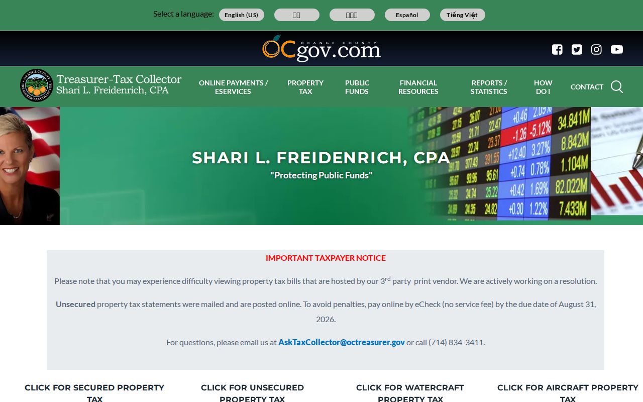
The tax screen supplies a parcel key, not the names of every person at the address.
Tustin TaxMap Block Browse
TaxMap adds the spatial part that a text address search cannot provide. Locate the target address, confirm the parcel outline, then pan across both sides of the street. Click each adjacent shape and record its APN before checking a separate record. Common areas, private streets, parks, and condominium assessment units can break a simple sequence of house numbers. A newly created parcel can also lag until the annual layer refreshes.
A parcel map shows land geometry and county navigation keys. It does not show every person who uses a building, and it does not turn a ZIP code into a legal boundary. For a block question, keep a small worksheet with the target APN, adjacent APNs, situs descriptions, and the date of the map layer. That record makes later deed and permit comparisons much less prone to mix-ups.
Orange County TaxMap is the official parcel and adjacent-lot viewer for this address layer.
When the map is slow or a parcel is unclear, the Treasurer address result and the county parcel-map desk are better fallbacks than guessing from street numbers.
Tustin Owner Names Stay Hidden
Orange County's secured assessment screen is an important Tustin street directory limitation. It asks for an eight-digit APN and returns the current annual assessment result, but the public online output suppresses owner names and mailing addresses. The absence is intentional. Do not treat a blank owner field as a failed search, and do not copy an owner name from an unverified third-party result.
The property trail can still move forward. Use the APN to understand the parcel, then use RecorderWorks to search a known recorded party or instrument. At the counter, the Assessor is at 500 S Main in Orange during the researched Monday-through-Friday, 8 a.m. to 5 p.m. window. The Treasurer contact is 714-834-3411. The online assessor roll was tied to the January 1, 2026 roll closure when inspected, so the search date matters.
The county property-tax portal guide makes the local search rule clear.
This is why an address-to-APN workflow is more accurate than promising a public owner-name list.
- APN
- The county assessment parcel number used to join tax, map, and property systems.
- Situs
- The physical address of land or a structure.
- Mailing address
- The correspondence address associated with a record, which may be elsewhere.
- Legal description
- The formal land description that can bridge a renamed street or changed number.
Tustin Deeds Have No Street Box
RecorderWorks is not a street-directory search. Its useful keys are indexed names, document numbers, document types, recording dates, maps, and legacy book or page references. Start with a known party or instrument from the parcel trail. Read the result for grantor and grantee roles, then search the seller as an earlier grantee. Match the tract, legal description, APN clue, and date, not a surname alone.
Orange County's web index begins in 1982. Full images are not opened to the public on the web, but free viewing is available at Clerk-Recorder terminals. The researched copy route is $1 per page plus $1 for certification or the document. A mail request goes to 601 N Ross Street in Santa Ana with the identifier and a self-addressed stamped envelope. For older chains, ask about books, fiche, legacy indexes, and the Orange County Archives.
A quitclaim, trustee deed, reconveyance, death certificate, probate letter, easement, or trust record may connect a chain without representing an ordinary sale. The instrument type tells the researcher what kind of event occurred. It does not identify every occupant of the house.
Tustin Permits Add Dated Clues
City permits can put an address into a construction chronology. Tustin's Citizen Self Service process uses the project address and permit number for inspections, with inspection questions directed to 714-573-3141. A permit may name an applicant, contractor, or project contact and can support an addition, remodel, occupancy change, or other public action. It is evidence about the project, not proof of every person who lived there.
WebLink extends that address history into minutes, resolutions, annexations, tract files, and full-text municipal records. Search the address, street-name variants, tract, project, and date. The city archive offers browse, object, field, phrase, fuzzy, and prefix-wildcard modes. The file may point to a public action even when a modern tax screen says little about names.
Tustin's permit process page explains the project and inspection route.
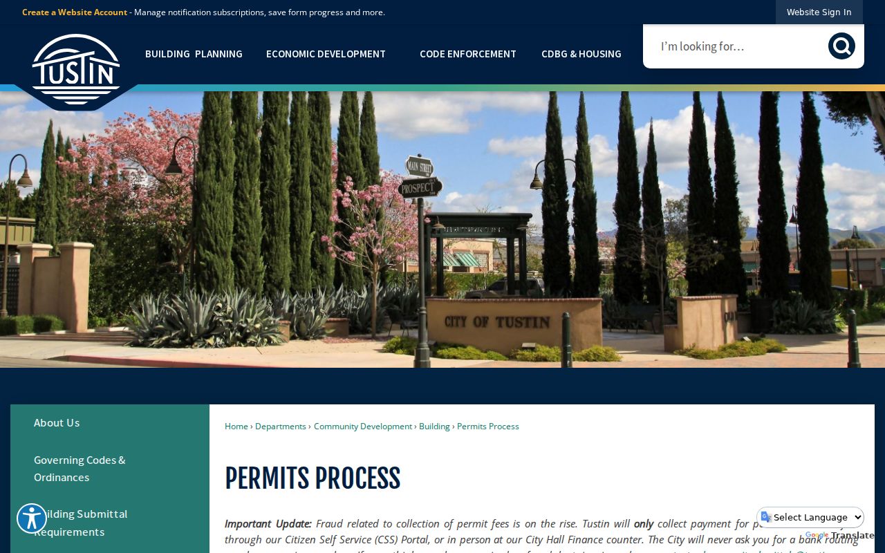
Permit evidence is strongest when its address and date align with the parcel and a separate record.
The Tustin city-records guide points to the WebLink archive.
Municipal full text can explain a street or project change that is invisible in the deed index.
Tustin Street Names Changed
Tustin's 1968 centennial renaming creates a practical search trap. D Street became El Camino Real, 4th became Irvine Boulevard, and H became Centennial Way. Historic Highway 101 called El Camino Real is a different reference from the present El Camino Real that replaced former D Street. Cerromar became Corte Villa in 1996. Tustin Legacy plans also carried interim names such as North Loop Road, South Loop Road, West Connector, and Park Avenue.
Run both names when searching a street directory, WebLink, a deed index, or a newspaper. Use the APN, tract, legal description, and map as the stable bridge. A failed search under a modern street name may only mean the record uses the earlier name. This local quirk is why an address history needs both a text search and a parcel check.
The city archive and Historic Resources Survey can add context, but an absent property from a mapped survey does not prove the property lacked history because the survey scope excluded Tustin Ranch and Tustin Legacy areas.
Tustin Criss-Cross Street Pages
Reverse or criss-cross directories are the historical street directory layer. Instead of beginning with a surname, start with an address and look for the listed subscriber or occupant. Documented Orange County holdings include a 1952 Santa Ana and Central Orange County criss-cross, Luskey's Santa Ana, Tustin, and Central Orange County editions from 1954, 1956-60, and 1961, and a 1974 East Orange County criss-cross whose precise Tustin reach is not stated. The repository for each run needs verification at the library or Archives.
A criss-cross entry is a dated household clue. Pair it with the alphabetical section, a matching directory edition, census schedules, the Tustin News, an obituary, or a deed date. A missing name is not proof that no one lived there. OCR and abbreviations can also move a surname or hide a street suffix. The historical collection details and reading method belong on the Tustin city directory page.
Tustin's city archive business-listing search can supply a separate dated address or business lead.
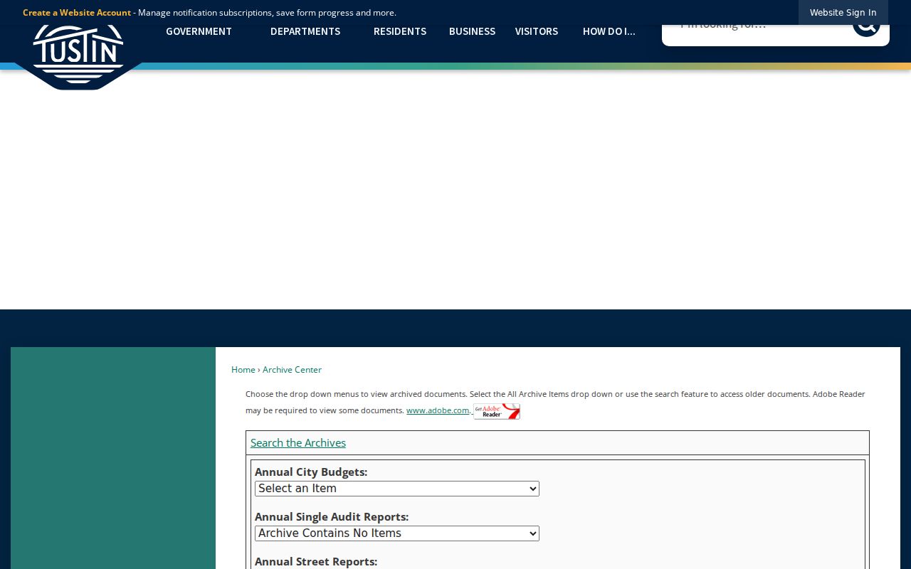
Business listings are useful context, but they should not be mistaken for a complete residential street roll.
Tustin Street Directory Limits
No public Tustin street directory can show every person who uses an address. Renters, children, partners, lodgers, protected voters, DMV records, utility customers, and delivery data are not an open household list. A recorded deed identifies parties to an instrument. A tax roll identifies land and assessment facts. A historical directory identifies a listed name at a dated moment. Keep those boundaries in the wording of any note or request.
Lawful use. Street and address records are for personal, lawful research, family history, property curiosity, and civic questions. Do not use a Tustin address trail to stalk, harass, intimidate, or harm another person.
When a search stops, use the custodian's documented fallback: a counter terminal, a precise city request, a county copy form, a library collection, or the Archives. The Tustin resident lookup route is better when the question is one person rather than every parcel on a street.